Our Route
A 17-mile trail run visiting four trig points.
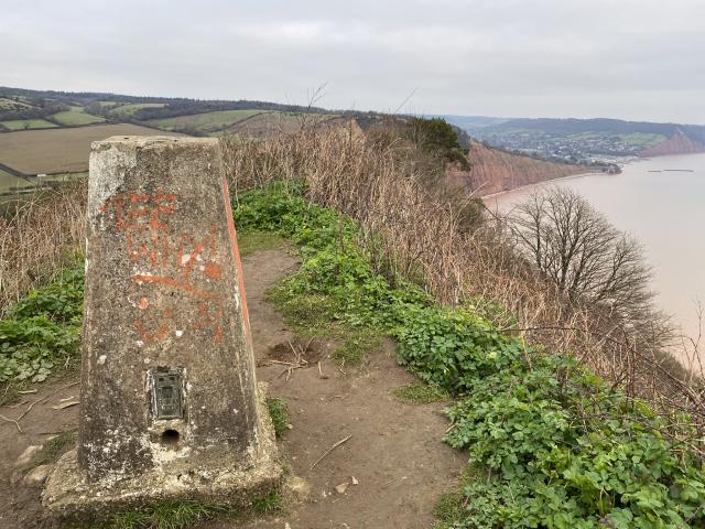
High Peak (SY 10344 85940)
Start your journey at the scenic coastal trig point.
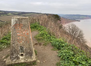
Beacon Hill (SY 11150 90922)
Enjoy panoramic views from this hilltop marker.


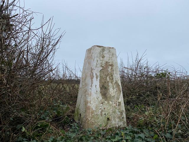

Buckton Hill (SY 14846 90935)
Marvel at the [replacement] Buckton Hill trig
Weston Cliff (SY 16983 88202)
The last trig. You think you've finished... but you haven't
→
→
→
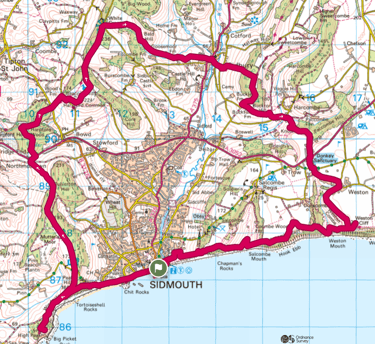
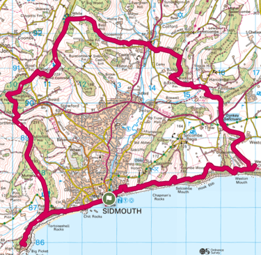
The Route on a Map
It's run under Fell Runners Association rules (navigation by map), so this is the best we offer!
Frequently Asked
What is the route?
A 17-mile trail run visiting four trig points around East Devon.
Is it self-navigated?
Yes, it's run under FRA rules, so runners find their own way using maps or local knowlege (or following someone who knows the way). The navigation isn't difficult, so don't let that put your off.
How difficult is the trail?
The trail covers varied terrain with steep hills and muddy paths. It's clallenging, but it's also friendly and fun.
There two or three informal checkpoints. The objective is to be self supporting, but there is water and jelly babies at the check points if you need them.
Are there checkpoints?
Can beginners join?
Beginners are welcome but should prepare for the distance and terrain. Oh, and you have to be 18 or over.
Contact
Questions? Reach out anytime.
fourtrigs@icloud.com
© 2025. All rights reserved.